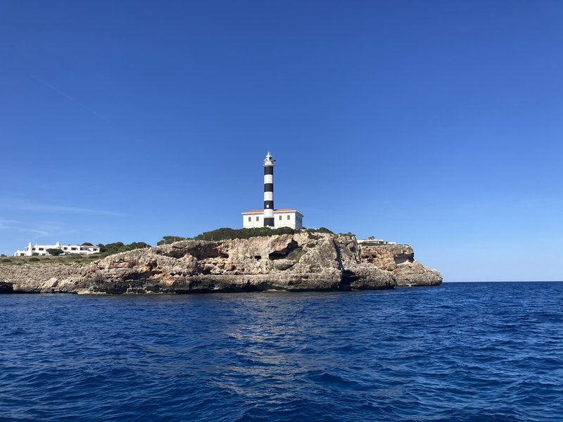
s'arenal - ses illetes

Logbook

  • Departure: S’Arenal (39.5035, 2.7453), Sunday, May 31, 2026 at 08:18 UTC
  • Arrival: Ses Illetes (39.5299, 2.5850), Sunday, May 31, 2026 at 13:25 UTC
  • Duration: 5.1 h
  • Distance: 10.5 nm
  • Average speed: 2.1 kn
  • Hours & Distance under Motor: 2.9 h / 3.4 nm
  • Miles under Sail: 7.1 nm
  • Crew: Tobi

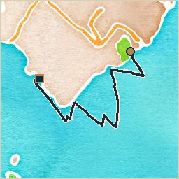
Departed S’Arenal for Ses Illetes, a modest half-day’s sail covering 10 nautical miles at 2.1 knots average. Wind 3–8 kn from the SSW, gusting to 11 kn. With a short stopover at the breakwater of Sa Ràpita to meet up with Anja and Denny (met earlier in the “other” La Ràpita, on the mainland), headed for an anchorage west of Palma to spend the night, planning to head into the Real Club Náutico de Palma marina the next day.
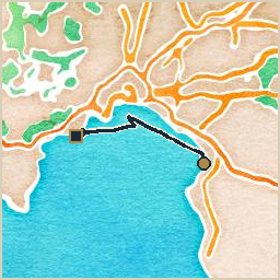
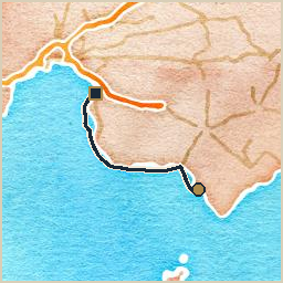
Watercolor-style map of the route from S'Arenal to Ses Illetes: a navy track line with a gold circle marking the start and a dark square marking the end

platja des carbó - s'arenal

Logbook

  • Departure: Platja des Carbó (39.3153, 3.0010), Saturday, May 30, 2026 at 09:45 UTC
  • Arrival: S’Arenal (39.5011, 2.7452), Saturday, May 30, 2026 at 18:58 UTC
  • Duration: 9.2 h
  • Distance: 23.1 nm
  • Average speed: 2.5 kn
  • Hours & Distance under Motor: 3.0 h / 4.0 nm
  • Miles under Sail: 19.1 nm
  • Crew: Tobi

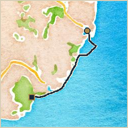
Left Platja des Carbó and made for S’Arenal, a full day underway covering 23 nautical miles at an average of 2.5 knots. Wind 3–7 kn from the SSW, gusting to 17 kn. Club Nàutic de S’Arenal was way overpriced, so stayed in the anchorage south of the marina instead, and went ashore with the dinghy to check out Balneario 6 and the crazy German party scene there.

Watercolor-style map of the route from Platja des Carbó to S'Arenal: a navy track line with a gold circle marking the start and a dark square marking the end

cala mondragó - platja des carbó

Logbook

  • Departure: Cala Mondragó (39.3476, 3.1925), Friday, May 29, 2026 at 08:38 UTC
  • Arrival: Platja des Carbó (39.3062, 3.0131), Friday, May 29, 2026 at 18:22 UTC
  • Duration: 9.7 h
  • Distance: 25.0 nm
  • Average speed: 2.6 kn
  • Hours & Distance under Motor: 2.2 h / 5.0 nm
  • Miles under Sail: 20.0 nm
  • Crew: Tobi

Departed Cala Mondragó for Platja des Carbó, a full day underway covering 25 nautical miles at 2.6 knots average. Wind 6–11 kn from the WSW, gusting to 22 kn. Platja des Carbó turned out to be a nice shallow anchorage south of Colonia de Sant Jordi.

Watercolor-style map of the route from Cala Mondragó to Platja des Carbó: a navy track line with a gold circle marking the start and a dark square marking the end

portocolom - cala mondragó

Logbook

  • Departure: Portocolom (39.4199, 3.2663), Thursday, May 28, 2026 at 10:07 UTC
  • Arrival: Cala Mondragó (39.3497, 3.1906), Thursday, May 28, 2026 at 14:07 UTC
  • Duration: 4.0 h
  • Distance: 7.0 nm
  • Average speed: 1.8 kn
  • Hours & Distance under Motor: 1.2 h / 2.2 nm
  • Miles under Sail: 4.8 nm
  • Crew: Tobi

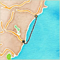
Departed Portocolom for Cala Mondragó, a modest half-day’s sail covering 7 nautical miles at 1.8 knots average. Wind 6–9 kn from the SSW, gusting to 20 kn. Anna, Jo, Eli, and Björn left for the airport that morning while the boat was still in Portocolom, so this was Tobi’s first solo leg of the season. Originally wanted to go to Portopetro, but it didn’t look very inviting, so continued on to Cala Mondragó instead.

Watercolor-style map of the route from Portocolom to Cala Mondragó: a navy track line with a gold circle marking the start and a dark square marking the end

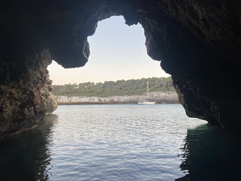
View out through the mouth of a dark sea cave toward a sailboat anchored in a sunlit bay lined with pine trees

porto cristo - portocolom

Logbook

  • Departure: Porto Cristo (39.5367, 3.3390), Tuesday, May 26, 2026 at 12:05 UTC
  • Arrival: Portocolom (39.4217, 3.2643), Tuesday, May 26, 2026 at 15:32 UTC
  • Duration: 3.4 h
  • Distance: 9.4 nm
  • Average speed: 2.7 kn
  • Hours & Distance under Motor: 1.0 h / 2.4 nm
  • Miles under Sail: 7.0 nm
  • Crew: Tobi, Anna, Jo, Eli, Björn

Left Porto Cristo and made for Portocolom, a short hop covering 9 nautical miles at an average of 2.7 knots. Wind 9–10 kn from the E, gusting to 21 kn. While in Porto Cristo we went to see the Cuevas dels Hams (fish hook caves), which were a bit disappointing: the whole family liked the Cuevas del Drach (dragon caves), visited last year, better.

Watercolor-style map of the route from Porto Cristo to Portocolom: a navy track line with a gold circle marking the start and a dark square marking the end

A black-and-white striped lighthouse atop a rocky headland, seen from the water under a clear blue sky